Krishi Vigyan Kendra, Zunheboto

District profile of Zunheboto

It is located at 1852 altitude with an annual rainfall of 163cm. The total geographical area is 1255sq/km with a total population of 128374. The total male and female population is 63792 and 64582 respectively with a ratio of 1:1.01. Population density is 123 person per sq/km. Literacy rate 69% out of which male (73.43%) and female (65.8%)

Artist's interpretation of article headline

Cultural and social identity of the district

Zunheboto home of the Sumis (Language – Sumi). With the advent of christianity, people have adjured animistic practice 99% of the population are Christians. Sumis in general in those days had so many traditional festivals in sequence of seasons of the year. Even these days, two main festivals, Tuluni and Ahunah are celebrated with gaity grandeour by young and old.

Artist's interpretation of article headline

Zunheboto map showing blocks

Zunheboto district have six blocks Viz., Zunheboto, Tokiye, Akuluto, Satakha, Surohuto and Ghatashi

Artist's interpretation of article headline

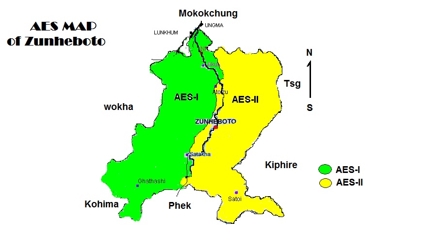
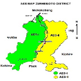
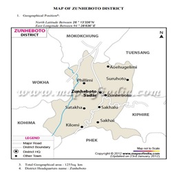
AES map of Zunheboto

The district has two Agro Ecological Situation Viz., AES I and AES II. AES I 600-1500m MSL with sub tropical climate covering Akuluto, Ghatashi and 50% of Satakha Block. AES II 1500m and above with temperate climate covering Zunheboto, Tokiye, Suruhoto and 50% of Satakha Block.

Artist's interpretation of article headline

Map Of Zunheboto District

product 1
.